The Fraser River located in the Province of British Columbia, Canada rises on the western slopes of the Canadian Rocky Mountains, near the border with Alberta. At 850 miles in length, the Fraser is BC’s longest river, where it flows northwesterly before turning south near Prince George, and then down the center of the province to the Pacific Ocean (Strait of Georgia), near the city of New Westminster. As part of the modern history of Canada, Simon Fraser coming over land from the Atlantic coast was the first successful explorer of the Fraser River from its headwaters down to the Pacific Coast in 1808. The river bears his name. This event was the beginning of a gradual modern development of the land area, now called British Columbia.
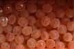
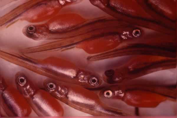
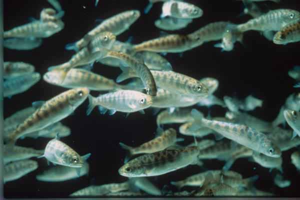
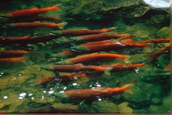
Historically, the Fraser River was considered one of the world’s greatest salmon resources. Tens of millions of Pacific salmon returned annually to spawn in the main stem Fraser River and tributaries that include all six species of salmon, Sockeye, Pink, Chum, Chinook, Coho and Steelhead. Some salmon, which migrate upriver to spawn in northern tributaries, swim as far as 1000 miles from the ocean to the gravel beds where they were born, to complete their life cycle. The Native Indian population on the northern Pacific Coast has for centuries relied on the returning salmon as part of their sustenance. European settlers who arrived on the Pacific Coast in the late 1700 recognized the salmon as a valuable resource and soon developed extensive commercial fisheries, built canneries and exported their products throughout the world. By late 1800, the total commercial harvest by American & Canadian fishermen and Indian subsistence caches amounted to 50-80% of the salmon returning to spawning grounds of the mighty Fraser River.